Satellite-based services to support sustainable land-use practices
Empowering decision-makers with advanced satellite-based tools to manage land-use risks, monitor pollution, and protect biodiversity

About GreenEO
GreenEO empowers decision-makers with advanced satellite-based tools to manage land use, monitor pollution, and protect biodiversity.By integrating next-gen Earth observation (EO) data with climate models, digital infrastructure, and machine learning, the project supports transformative governance aligned with the European Green Deal.
Focus Areas


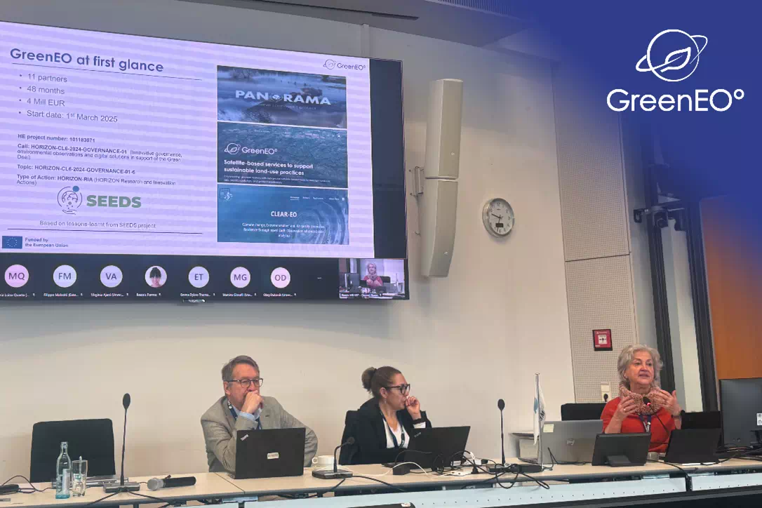
Latest News
& Events
Stay up to date on the project’s achievements with
our
blog
articles below and follow us on LinkedIn to
not to miss any key information

Project partners
GreenEO brings together academic researchers, environmental
organisations, institutions, private companies, and local stakeholders
across Europe to advance
sustainable land-use practices and
promote biodiversity protection.


